ORGNAC-L'AVEN
Medium
5h
14,4km
+472m
-472m
Loop
GR
PR
Embed this item to access it offline
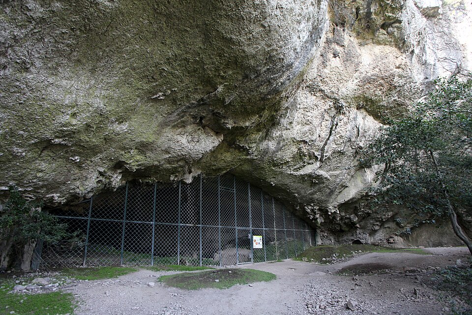
A 15-kilometre hike through the garrigue of the Ardèche with its green and white oaks typical of the south of France. This hike takes you close to the Grande Lauze (a huge limestone slab) and the Baume d'Oullins (one of the largest prehistoric shelters in south-east France, near the Gorges de l'Ardèche).
Description
- From the Hiking Info sign at the campsite entrance, follow the white and red markings to the Camping junction. Follow Terme de Mazer 4.3 km. After leaving the tarmac, continue straight on a passable road to a telephone antenna.
- Continue straight ahead, then 300 m further on, turn right. Then pass over a huge rock slab, "La Grande Lauze," which offers a wide panorama. In good weather, you can easily see Mont Ventoux or the Pre-Alps. Continue to the La Grande Lauze junction. Follow Terme de Mazer 2.7 km. Baume d'Oullins 4.8 km. Continue for about 300 m before joining a wide central trail.
- Turn left.
- Continue to the Terme de Mazer intersection. Follow Camping 1000 étoiles (Mas de Serret) 3.2 km Labastide-de-Virac 8 km Leave the white and red markings and now follow the white and yellow markings. Continue straight on this track, which will descend for 1.5 km on a stony path. Then turn right onto a narrower path.
- Continue to the Mas de Serret junction. Follow Sentiers de Gorges 4.9 km Follow Head towards the Gorges de l'Ardèche. About 400 m further down, a small path on the right leads to a magnificent viewpoint over the Gorges.
- Then begin the descent towards the Gorges until the Combe d'Oullins junction. Follow Climb up to the Baume d'Oullins site, then follow the cliff and follow the narrow path that opens onto a track 1 km further on.
- Turn right to reach the Terrme de Mazer crossroads. La Grande Lauze 1.3 km Orgnac l’Aven 4.5 km Follow the white and red markings again. Take the same route as on the outward journey, join the wide central track, turn right then left and join the La Grande Lauze junction. follow Orgnac l’Aven 3.3 km
- Leave the white and red markings to follow the white and yellow markings. Go down to a water reserve and turn right. At the next intersection, turn left and go back up to the Camping junction. follow Info Rando 0.2 km Join the Info Rando sign.
- Departure : Municipal campsite in Orgnac l'Aven
- Arrival : Municipal campsite in Orgnac l'Aven
- Towns crossed : ORGNAC-L'AVEN, LABASTIDE-DE-VIRAC, and LE GARN
Forecast
Altimetric profile
Recommandations
Remember to check the weather forecast and adapt your activities accordingly.
Good shoes, water, sun protection, possibly hiking poles, ...
Information desks

16 rue des Abeilles, 07150 Vallon Pont d’Arc
Access and parking
From Orgnac-l'Aven, take the D217 in the direction of Labastide de Virac. After about 700 metres, park in the car park outside the municipal campsite.
From Vallon Pont d'Arc, drive to Salavas; cross the village and continue on the D579. Then take the D217 in the direction of Labastide-de-Virac / Orgnac-l'Aven. After 7 km from the end of the village, you will find the Municipal campsite on your left. Park in the car park outside the Camping Municipal.
From Vallon Pont d'Arc, drive to Salavas; cross the village and continue on the D579. Then take the D217 in the direction of Labastide-de-Virac / Orgnac-l'Aven. After 7 km from the end of the village, you will find the Municipal campsite on your left. Park in the car park outside the Camping Municipal.
Parking :
Campsite car park
Report a problem or an error
If you have found an error on this page or if you have noticed any problems during your hike, please report them to us here: