Langs de Ardèche vanuit Lanas
De eerste sporen van bewoning in Lanas dateren uit de Middeleeuwen. Al in de 12e eeuw werd in het hart van het dorp een castrum gebouwd, een echt fort. De strategische ligging aan de oevers van de Ardèche maakte het tot een belangrijke verdedigingsplaats. De unieke slakvormige architectuur van het castrum getuigt van deze roerige tijden. Genesteld aan de oevers van de rivier de Ardèche, is het dorp Lanas veel meer dan alleen maar een startpunt voor je wandeling. Zijn rijke en bewogen geschiedenis maakt het tot een plaats vol geschiedenis en charme.
Beschrijving
Om de start wat gemakkelijker te maken, kunt u de kleine kaart linksboven op het bord ‘Info Rando’ gebruiken. Ga vanaf het bord ‘Info Rando’ op de parkeerplaats richting de brug. Steek deze niet over, maar neem het smalle weggetje dat langs de Ardèche loopt. Volg bij de kruising de borden naar Balazuc (3,4 km).
- Neem bij het meer het pad aan de rechterkant dat onder de klimlocatie doorloopt. Verlaat het pad en klim via het pad aan de rechterkant het bos in.
-
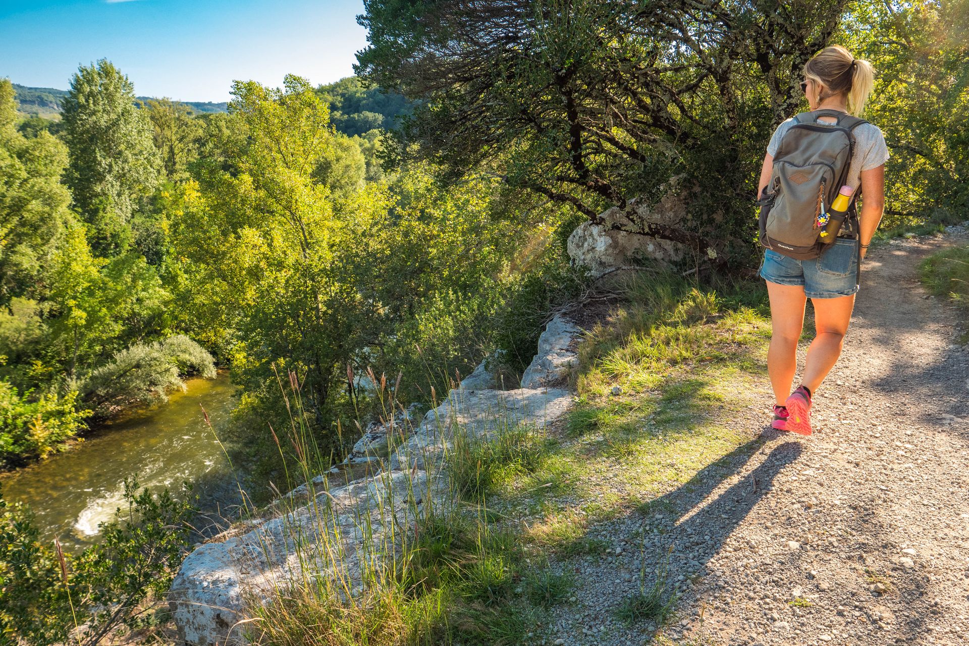
Na een licht stijgend stuk tussen de eikenbomen neemt u bij het kruispunt het pad links dat naar beneden loopt. Neem in een lichte bocht het pad dat naar rechts afdaalt richting de rivier. Na 300 m langs de Ardèche te hebben gelopen, komt u net boven de grot van Estinettes langs. Beklim het pad richting de rotswand en volg bij de aan de rots bevestigde ring de route naar Lanas gedurende 3,1 km. Volg het pad onder de rotswand door, dat een prachtig uitzicht biedt op de Ardèche en het dorp Saint-Maurice-d'Ardèche, tot u het mooie gehucht Servière met zijn stenen huizen bereikt.
- Steek het gehucht over en volg bij het kruispunt van Servière de borden naar Lanas gedurende 3,5 km. Bij de uitgang van Servière, bij het kruispunt van Les Chabasses, volg je de borden naar Lanas gedurende 3 km. Neem het pad en vervolgens het wandelpad omhoog naar het Gras-plateau. Je loopt ongeveer 2 km door een landschap met steeneiken dat kenmerkend is voor de zuidelijke Ardèche.
-
Nadat u bij de kruising bij Le Clauzel het kleine stenen huisje aan de linkerkant bent gepasseerd, volgt u de borden naar Lanas gedurende 1 km. Daal het pad af richting Lanas. Bewonder het viaduct van Vogüé, waar de Via Ardèche is aangelegd. Doorkruis het dorp Lanas en keer terug naar uw vertrekpunt. Maak, voordat u vertrekt, van de gelegenheid gebruik om door de smalle straatjes van het dorp te slenteren.
- Vertrek : Wandelinformatiebord op de parkeerplaats
- Aankomst : Wandelinformatiebord op de parkeerplaats
- Doorlopende gemeentes : LANAS en BALAZUC
Weerbericht
Hoogteprofiel
Informatiepunten

9 rue Alphonse Daudet, 07120 Ruoms

52 Rue Grande Rue, 07200 Vogüé
Toegang tot de weg en parkeren
Vanuit Aubenas neem je de D579 richting Vogüé en vervolgens de D114 richting Lanas.
Vanuit Ruoms neem je de D579 richting Vogüé en vervolgens in Saint-Maurice-d'Ardèche de D114 richting Lanas.
Parkeren :
Een probleem of fout melden
Als u een fout op deze pagina heeft opgemerkt of u bent een probleem tegen gekomen tijdens uw wandeling, kunt u dit hier aan ons melden: