
Mountain biking – Around the Bois des Bruyères
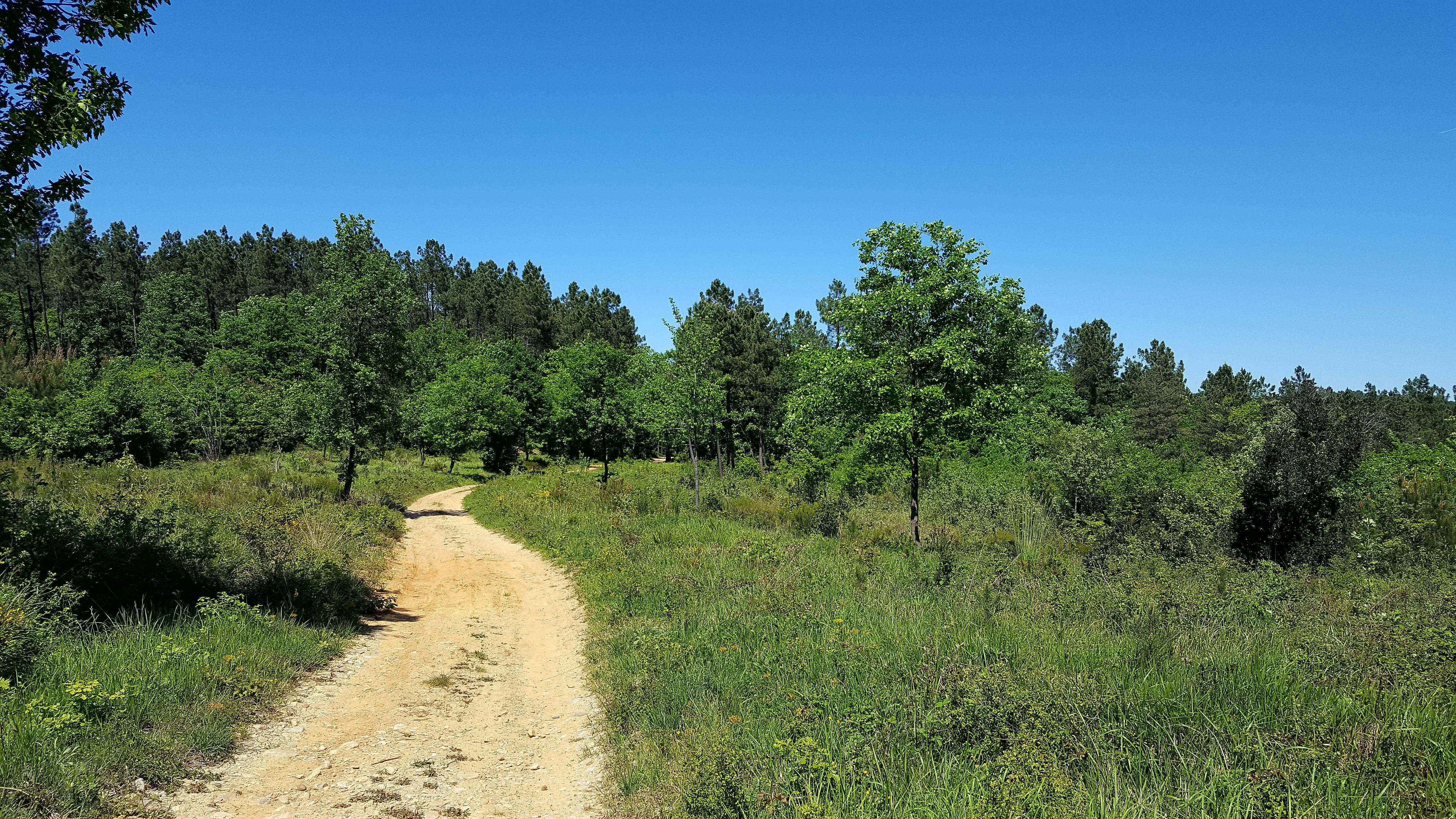
Situated between two valleys, the Bois des Bruyères stands out from the other hills in the commune because it is composed of more recent geological formations: clay and sand formations from the Tertiary period. Its acidiphilous vegetation contrasts with the generally calcareous formations of the southern Ardèche. It is heavily wooded and has a very rich biodiversity. The undergrowth is dominated by callune, which is found throughout most of France, broom heather, which is common in the south and west of France, and tree heather, which is a Mediterranean species. All three plants have good drought resistance in common.
Description
- To make setting off easier, use the small map in the top left-hand corner of the Info Rando sign. From the Info Rando sign, next to the bus stop, turn right and follow the GR 4 (marked in white and red), which climbs through the village and passes the Cigeaille junction. Follow the signs for: Gour d’Estelle / Labastide-de-Virac.
- Continue on, then take a dirt track until you reach the Champagnac junction. Follow signs for: Gour d’Estelle / Salavas. Follow the white-and-yellow markings. Join a tarmac road. Cross the D 579 road and, a few metres further on to the right, you’ll come to another tarmac road. Follow this until you reach the Gour d’Estelle crossroads. Follow the signs for: L’Épingle / Salavas.
- A wide path leads through the woods via the Darbousset junction. Follow the signs for L'Épingle / Lagorce.
- Continue via the Bois des Bruyères junction. Follow the signs for L'Épingle / Salavas.
- Then the L'Épingle crossroads. Follow signs for Salavas.
- Head downhill and join a tarmac road at the Pont de Lantousse junction. Follow the signs for: Vallon-Pont-d’Arc / Salavas. Return to the red-and-white markings (GR 4). The tarmac road leads to the Salavas junction. Follow the signs for: Info Rando
- Departure : Salavas - 755 route de Barjac
- Arrival : Salavas - 755 route de Barjac
- Towns crossed : SALAVAS and VAGNAS
Forecast
Altimetric profile
Recommandations
Follow the signposted paths, keep your speed in check and always give way to pedestrians with a smile. The southern Ardèche is home to an exceptional and fragile ecosystem: help to preserve it by staying on the tracks, taking your rubbish away with you and closing gates behind you. Before setting off, check your mountain bike, put on your helmet, pack some water and a repair kit, and let a friend or family member know if you’re setting off on your own.
🚨 Emergency: 112 or 18
Cycling ;) – Suitable footwear, plenty of water, sun-protective clothing.
Information desks
Office de Tourisme Gorges de l'Ardèche - Vallon-Pont-d'Arc
16 rue des Abeilles, 07150 Vallon Pont d’Arc
Access and parking
From Vallon-Pont-d’Arc, take the D579 towards Barjac (over the Salavas bridge) and park on the right-hand side after 700 metres.
If you’re coming from Barjac, drive through Vagnas towards Vallon-Pont-d’Arc. Once you’ve passed the town sign, carry on for another 250 metres and park on the left-hand side.
Parking :
Report a problem or an error
If you have found an error on this page or if you have noticed any problems during your hike, please report them to us here: