
Pradons: a walk around Les Blaches hill
A short walk with no steep climbs, suitable for young children.
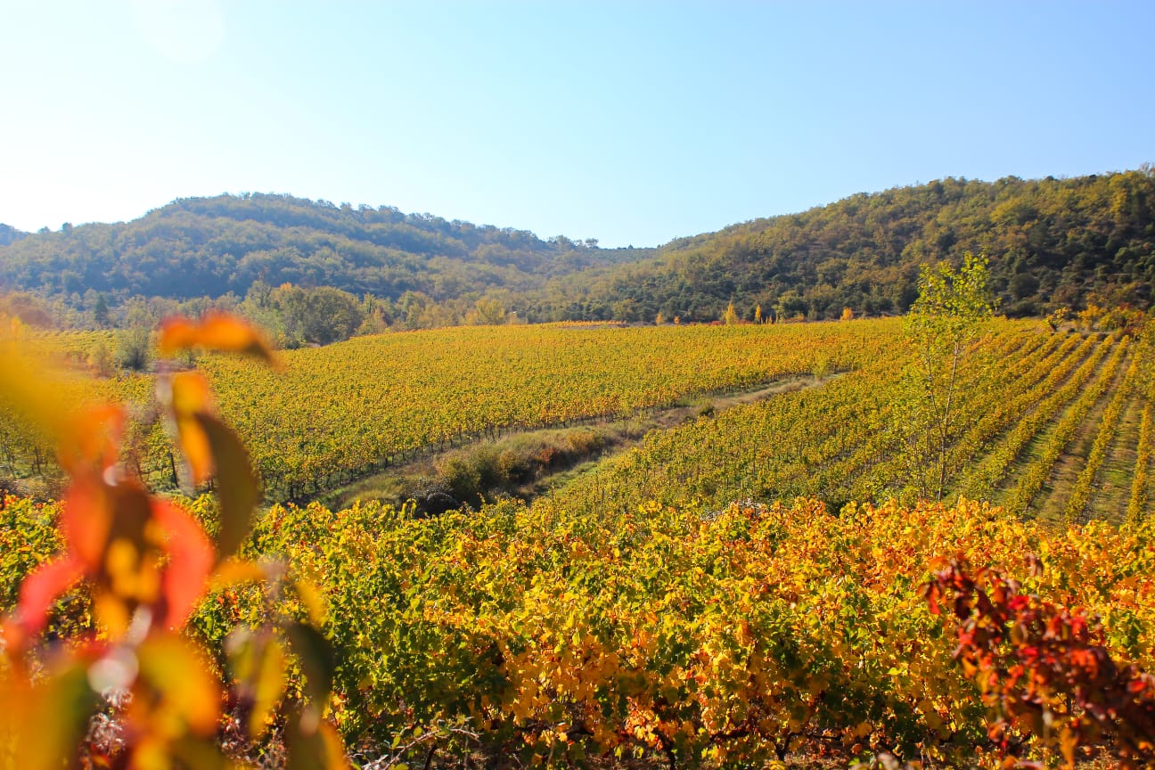
A walk around Blaches Hill, through oak woodland and mixed woodland. The route alternates between small roads, tracks and footpaths lined with clapas (dry stone walls), garrigue, woodland and vineyards. The walk ends along the Via Ardèche, the former railway line converted into a cycle path, at the probable site of the Roman road built under Antoninus Pius.
Description
As you leave the car park, take the pavement on the right along the county road, then turn right onto ‘Chemin des Granges’. At the first junction, you can turn left
to take a return walk (600 m) to the Croix des Peyrous, which stands on a milestone from the Roman road of Antoninus Pius. On the milestone, a plaque indicates the level reached by the flood of 1890. Carry on along the “Chemin des Granges” to reach the Via Ardèche cycle route in no time.
- At the ‘Voie ferrée’ signpost, follow the sign for ‘Lagorce 7.2 km’ and the  markings, continuing straight on for 250 m along the tarmac road.
- At the signpost marked ‘Les Granges’, follow the sign for ‘Trappe-Loup 2 km – Ruoms 6.3 km’ to the right. Continue along this path for approximately half a kilometre.
- At the signpost marked ‘Les Blaches’, follow the sign for ‘Pradons 2.6 km’ straight ahead. Near a stream, the dirt track curves to the right, winding round the hill. The path climbs and passes through a forest of white oaks: ‘Blache’, from the Occitan ‘blaca’ or ‘blacàs’, means white oak. Head back down between low stone walls and, once the path has moved away from the stream, turn right and then head more or less straight on until you reach the old railway line.
-
When you reach the greenway, turn right onto it. This former railway line was opened in 1876. It linked Vogüé to Alès. It was closed to passenger traffic in 1969 and to freight transport in 1988. At the ‘Voie ferrée’ signpost, follow the signs for ‘Info Rando 0.3 km – Chauzon 2.9 km’ to the left, then carry on straight ahead until you reach the RD. There, take the pavement on the left to return to the starting point.
- Departure : Place Marcel Reverger 07120 Pradons
- Arrival : Place Marcel Reverger
- Towns crossed : PRADONS
Forecast
Altimetric profile
Recommandations
Take care on the narrow stretch (20m) along the RD near the car park.
Trainers, weather-appropriate clothing. A water bottle or hydration pack.
Information desks

Office de Tourisme Gorges de l'Ardèche - Ruoms
9 rue Alphonse Daudet, 07120 Ruoms
Office de Tourisme Gorges de l'Ardèche - Vallon-Pont-d'Arc
16 rue des Abeilles, 07150 Vallon Pont d’Arc
Transport
‘Pradons – Village’ bus stop along the D579 = start of the walk.
Bus route E15: Aubenas – Avignon
Bus route X76: Valence TGV / Montélimar / Vallon Pont d’Arc
Access and parking
From Ruoms or Vogüé, take the D579 and, in the centre of Pradons, park in the car park opposite the bar-restaurant.
Parking :
Report a problem or an error
If you have found an error on this page or if you have noticed any problems during your hike, please report them to us here: