Chauzon and the Grads Plateau
A short stretch of road, mostly tracks and a few paths that may be stony. Minimal elevation gain.
First, there are ruiniform limestone outcrops covered with vegetation dominated by white oak; then comes the Plateau des Gras: this is a contraction of ‘Grads’ – ‘Gradins’ – describing the limestone steps that border the clay soil. On this bare plateau, one finds boxwood, cade and scorpion broom. Views over the Cévennes and the Ardèche valley.
Description
Start at the Info Rando sign in the car park at the entrance to the
village (coming from Pradons); as you leave the car park, head left towards the village. Keep following the signposts as you walk through the village. 300 m after the ‘end of built-up area’ sign, leave the road and take a path on the right. A few metres further on, leave the track briefly to take
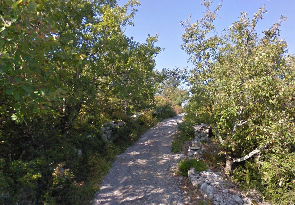
a path leading to the Aulagniers viewpoint, offering a remarkable view of the Ardèche. After a short stretch along the road, take the track on the right. On reaching the hamlet
of Audon, the track becomes tarmac.
- At the signpost marked “Audon”, follow “La Drayette 1.9 km – Uzer 3.7 km” to the left for 50 metres.
- At the signpost marked “Lubac”, follow “La Drayette 1.8 km – Uzer 3.6 km”. Leave the tarmac track and take a path through the woodland straight ahead.
- At the signpost marked “Combe-Veyras”, follow “La Drayette 0.6 km – Uzer 2.4 km” straight ahead. 100 metres further on, cross a road and continue straight ahead on a dirt track, then turn left.
- At the signpost marked “La Drayette”, follow “Chauzon 6 km”. Turn left onto the path between two walls. It leads onto a dirt track. Continue along this track, which crosses
the plateau and passes through a remarkable array of dry-stone walls. - At the signpost marked “Le Gras”, follow “Faussimagne 4.2 km – Chauzon 4.4 km” to the left. At a ruin by the roadside, continue along the track which runs alongside the Gournier (a stream that is usually dry) and then moves away from it.
- At the “La Hâle” signpost, follow the sign for “Chauzon 1.8 km” straight ahead. Join a tarmac track and follow it until you reach a junction with a road. Turn right and head downhill to the starting point.
- Departure : Car park at the entrance to the village of Chauzon when approaching from Pradons
- Arrival : Car park at the entrance to the village of Chauzon
- Towns crossed : CHAUZON and BALAZUC
Forecast
Altimetric profile
Recommandations
Protect yourself from the sun. Avoid hiking when it is very hot.
Walking shoes, weather-appropriate clothing, a water bottle or hydration pack.
Information desks

Office de Tourisme Gorges de l'Ardèche - Ruoms
9 rue Alphonse Daudet, 07120 Ruoms

Office de Tourisme Gorges de l'Ardèche - Vogüé
52 Rue Grande Rue, 07200 Vogüé
Transport
None
Access and parking
From Ruoms or Vogüé, take the D579 to Pradons. At the traffic lights, turn towards Chauzon. The road bends to the right after the bridge. The car park is at the junction with the Route des Gras.
From the D104 between Aubenas and Rosières, take the small road towards Balazuc. Take the first right towards Chauzon. At the roundabout at the entrance to the village, take the first exit, follow the Route des Gras and, just before the T-junction with the Route des Blaches, park in the car park on the left.
Parking :
Report a problem or an error
If you have found an error on this page or if you have noticed any problems during your hike, please report them to us here: