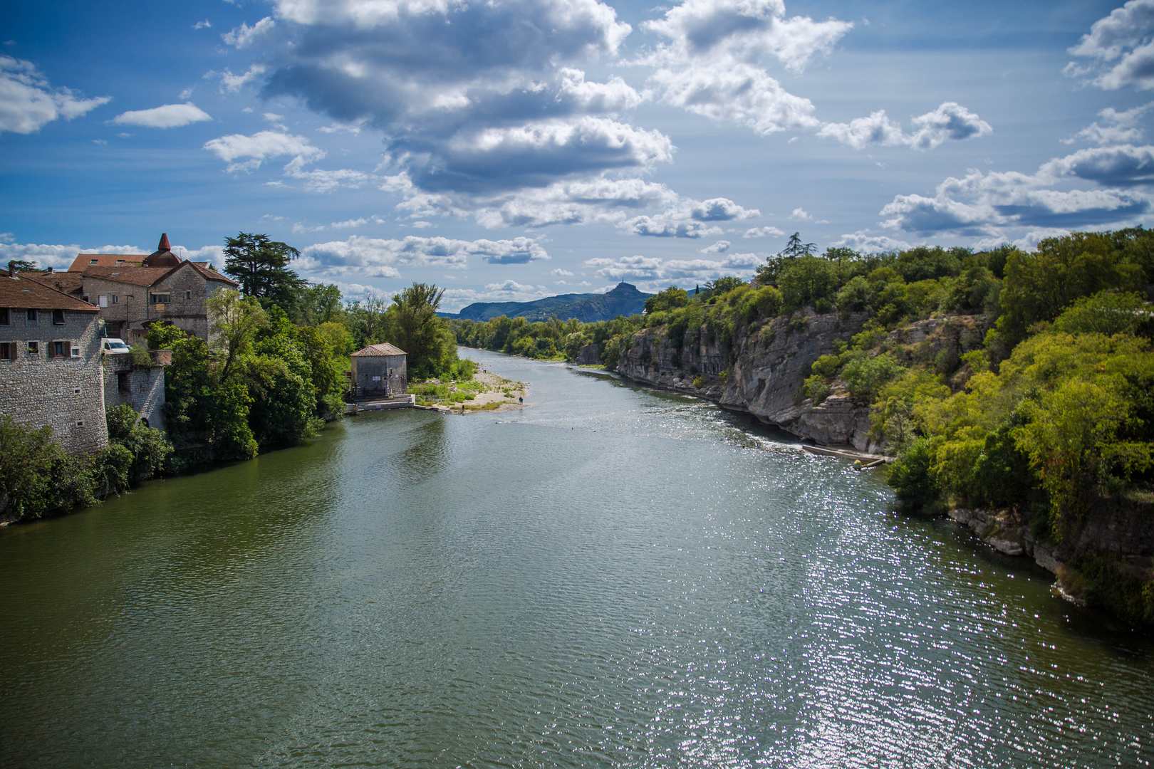
Where two waters meet
RUOMS
Where two waters meet
Medium
5h30
15,9km
+321m
-321m
Loop
PR
Embed this item to access it offline
This walk combines paths through the garrigue with riverbanks, which sometimes dry up and sometimes flood, depending on the season. Today, the flow of the Ardèche is regulated according to need; this is not the case for the Ligne, which sometimes runs dry.
Description
To help you get started, use the small map at the top left of the Info Rando sign.
- From the Info Rando sign, next to the Tourist Office, head towards rue François Millerand, then turn left into rue Nationale. Continue along rue des Brasseries.
- At the end of the bridge over the Ardèche, turn left, then at the next crossroads, take the D245 road towards Labeaume. At the end of the straight, turn left and then immediately right onto a track as far as the Peyroche junction. Follow Labeaume for 2.7 km. Continue on a track, then a path overlooking the River Beaume and offering views of the hanging gardens as far as the Champlautier junction.
- Follow Chapias for 4.2 km The path joins the D245 road. Follow the road for approximately 150 m, then take the second turning on the left. At the next crossroads, turn left. The path runs alongside the Ranc de Figère dolmen necropolis. Continue along a footpath. At the wrought-iron cross, turn left and continue as far as the junction La Plaine suivre Faussimagne 5 km Chauzon 7.3 km A carriage road leads to the Hameau de l'Abeille, a magnificent, typically Ardèche dwelling with multiple buildings, an entrance porch, covered terraces, threshing floors and a garden next to the irrigation basin. Continue straight ahead on this track.
- At the next crossroads, turn right and then left after 300 m to reach the L'Abeille junction. Follow the signs for Faussimagne 3.3 km and Chauzon 5.6 km. Pass a house and after a right turn, near a ruined barn, take a footpath. At the next crossroads, turn left. The path leads down to the D4 road. Follow the road for a few metres and at a barn, cross over and take the path down to the river.
- Cross the Ligne river near the confluence with the Ardèche (level permitting). Follow a path that passes the foot of a chapel and climbs towards the Faussimagne crossroads, follow Chauzon 2.3 km Take a stony path that climbs. Go past a ruin and turn right after about 300m. The path joins a tarmac track and at the crossroads turn right to reach the Les Traverses junction, follow signs for Pradons 2.1 km
- Take a tarmac track for 200 m and turn right just before a house. Follow the path to the climbing site car park and join the D308 road. Cross the bridge and turn left at the next junction. At the end of the cul-de-sac, take a footpath into the village centre. Go around the church to the Info Rando sign. Cross the road and follow the D579 towards the village for a few metres, then turn left into a narrow lane. Turn right then left
- Join the railway junction, follow Ruoms 3 km Return to Ruoms along the old railway line (greenway in 2014), passing the Montselgues and Les Petites Pièces junctions, follow Ruoms Le Champ du Gras, follow Ruoms 1.2 km, then the Le Champ des Fours junction, follow Info Rando 0.2 km Back down the rue du Président Millerand to return to the starting point of the walk.
- Departure : Ruoms Tourist Office
- Arrival : Ruoms Tourist Office
- Towns crossed : RUOMS, PRADONS, CHAUZON, and LABEAUME
Forecast
Altimetric profile
Recommandations
In periods of high water, this route is impossible because it crosses the Line.
Information desks

9 rue Alphonse Daudet, 07120 Ruoms

16 rue des Abeilles, 07150 Vallon Pont d’Arc
Access and parking
From Aubenas, take the D579 towards Vogüé, Gorges de l'Ardèche as far as Ruoms.
From Vallon Pont d'Arc, head towards Aubenas as far as Ruoms.
From Alès, take the D104 towards Aubenas. Then take the D111 towards Gorges de l'Ardèche as far as Ruoms.
From Vallon Pont d'Arc, head towards Aubenas as far as Ruoms.
From Alès, take the D104 towards Aubenas. Then take the D111 towards Gorges de l'Ardèche as far as Ruoms.
Parking :
Place du Général de Gaulle
Report a problem or an error
If you have found an error on this page or if you have noticed any problems during your hike, please report them to us here: