BALAZUC
Medium
2h45
7,9km
+239m
-239m
Embed this item to access it offline
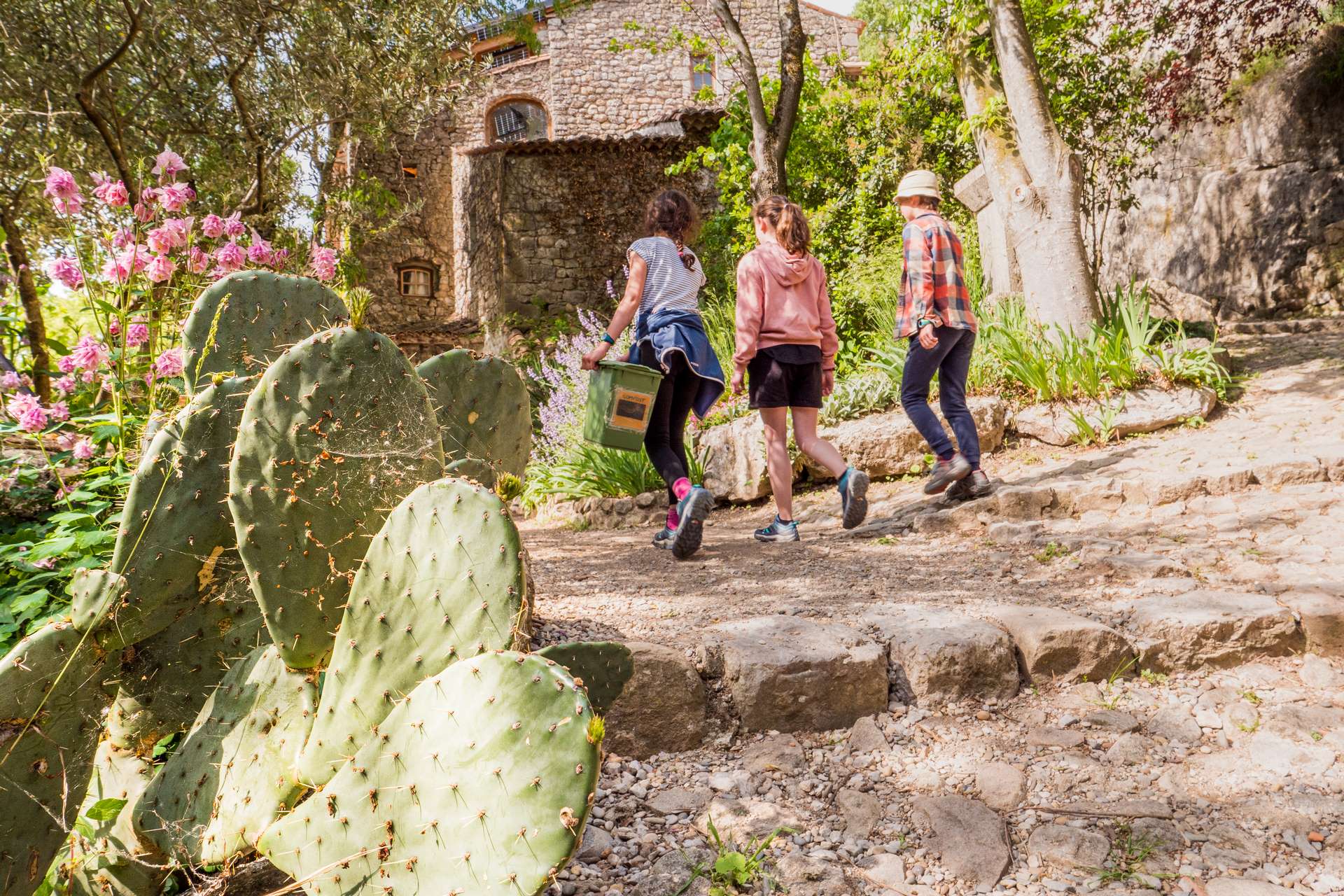
Perched on its cliff overlooking the Ardèche, the former stronghold of the "Lords of Balazuc" has retained many traces of its medieval past: a maze of narrow streets, vaulted passages supporting large stone houses, a castle, a fortified Romanesque church and the gates of the old ramparts, all remarkable elements which add to the charm of the village.
Description
To help you get started, use the small map at the top left of the Info Rando sign.
- From the Info Rando sign at the entrance to the village, follow the signs to the Portalas junction. Follow Servières 1.2 km / Viel Audon 1.6 km. Admire the village and enjoy the remarkable view over the Ardèche from the bell tower of the Romanesque church. Continue to the Le Pont junction.
- Follow Viel Audon 1 km / Chauzon 4.6 km. A few metres after the junction, leave the road and turn left along the river. Go through the hamlet of Viel Audon, then climb a few hairpin bends to the Audon forks, follow Balazuc 5.5 km then Lubac.
- Follow Balazuc for 5.4 km. Continue along the tarmac road to the Vigiers junction. Follow Balazuc 5.1 km. Leave the tarmac road and take a footpath. Join a carriage road and a few metres further on, turn right to find another path. This crosses a stream, which is mostly dry, and leads to the Balazuc-Uzer road. Turn left for a few metres, then right along a stony track to the Tour de la Reine Jeanne junction. The Tower is privately owned. The owner kindly agrees to share this remarkable site when he is away. So please behave with the utmost propriety and make sure you do not disturb its occupants. Return to the tower and enjoy a superb view of Balazuc.
- Follow the road back to the Chazette junction. Follow Balazuc for 3.1 km. At the next crossroads, continue straight ahead. The stony path descends towards the Les Chabasses junction. Follow Balazuc 1.7 km.
- In the hamlet of Servières, turn right twice and follow the tarmac path back to the junction.
- At the Le Pont junction, follow Info Rando for 0.8 km. Go back through the village to the starting point.
- Departure : Hiking information panel - next to the Town Hall
- Arrival : Hiking information panel - next to the Town Hall
- Towns crossed : BALAZUC
Forecast
Altimetric profile
Information desks

9 rue Alphonse Daudet, 07120 Ruoms

16 rue des Abeilles, 07150 Vallon Pont d’Arc

52 Rue Grande Rue, 07200 Vogüé
Access and parking
Coming from Aubenas:
Take the D104 (towards Alès/Montélimar) heading southeast.
Shortly after Aubenas (usually at Saint-Privat or Uzer), take the D579 towards Ruoms/Vallon-Pont-d'Arc.
Continue on the D579 and follow the signs for Balazuc (often via the D295 on your left), which will take you directly to the village.
Coming from Vallon-Pont-d'Arc:
Take the D579 heading northwest (towards Ruoms/Aubenas).
After Ruoms, you will see signs for Balazuc on your right (usually via the D295).
Parking :
La Croisette car park, at the entrance to the village of Balazuc
Report a problem or an error
If you have found an error on this page or if you have noticed any problems during your hike, please report them to us here: