The Bidon loop and the Champvermeil dolmen (mountain biking)
The route is fairly easy, mainly on wide paths with no steep inclines. There's a rocky section shortly after the start that requires a bit of skill. The out-and-back section might be best avoided with children. It follows a fairly quiet departmental road, but be careful, especially when crossing it. Afterwards, a narrow, unmarked path leads you to the dolmen.
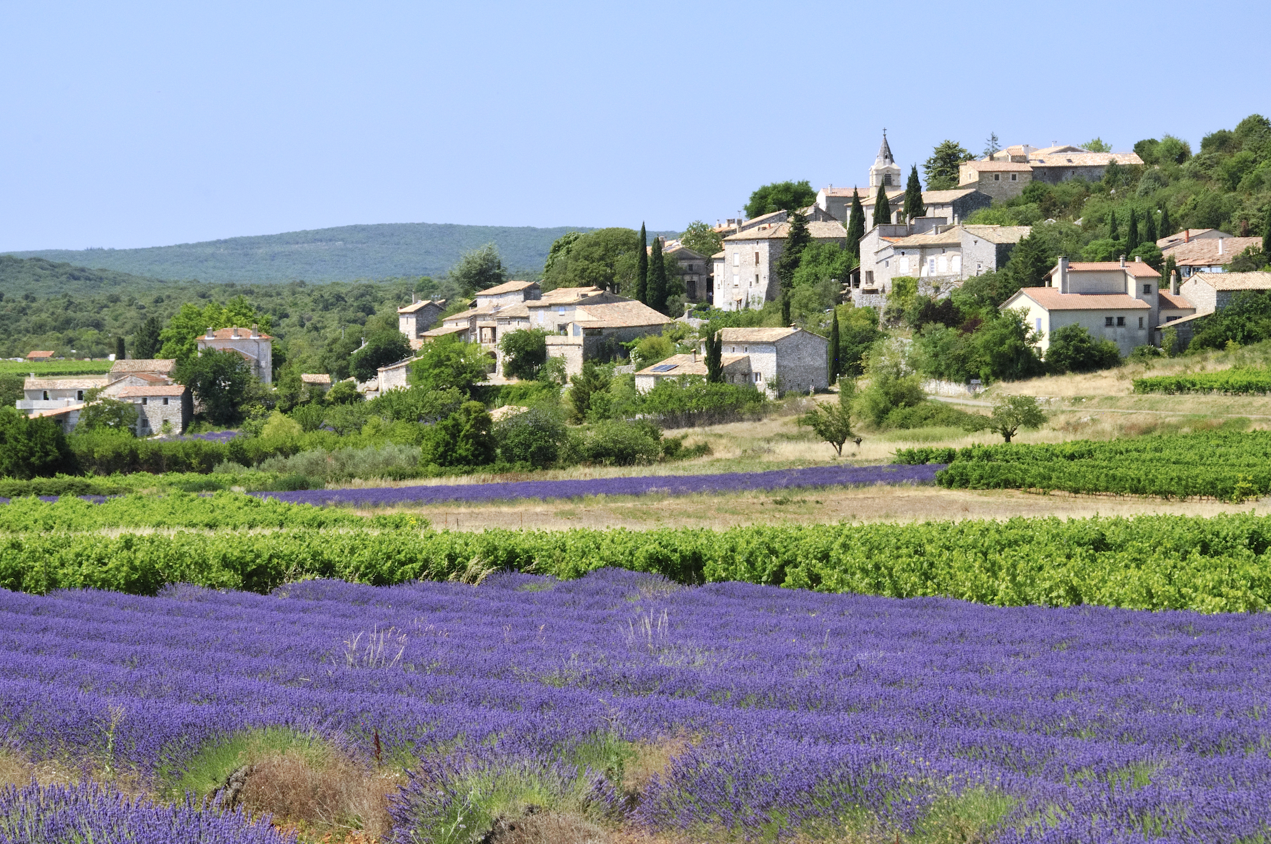
This peaceful route allows you to discover the garrigue and oak forest of the Ardèche region, as well as lapiaz (limestone slabs sculpted by the elements). A round trip will take you to see the Champvermeil dolmen.
Description
From the hiking information panel, take the small road that branches off to the left of the town hall towards the Plaine d’Aurèle. Always follow the trail markers.
At the “Puits de la Vieille” signpost, follow the signs for “St Remèze” via “La Charrette,” taking the road that climbs parallel to the one you came from. After 50 meters, turn right uphill to the church square and continue to the left until you reach the cross.
At the wayside cross, turn right onto the paved road, which becomes a dirt track a little further on. Follow it to the left. At the next forks, turn left then right and follow the path between dry stone walls. At the end of the path, turn right then left. At the “La Charrette” signpost, head towards “Grottes de Saint-Marcel” via “Le Pouzat.” Cross the main road to take the small road that branches off slightly to the right. When this becomes a wide dirt track, continue straight ahead. Stay on the main path until you reach the "Le Clos de Goudaud" signpost. There, follow the signs for "Plaine du Cayre" (to the left).
Follow the main path and the waymarking until you reach the D690 road. Cross the road and take the dirt track opposite. At the next two intersections, turn left. When you reach a fork approximately 600 meters after the second intersection, take the right-hand path.
At the "Plaine du Cayre" signpost, follow the signs for "Maison Forestière du Laoul". At the next intersection, turn right (again following the signs for "Maison Forestière du Laoul" at the Aven de Fontanilles signpost). The following section of the route is not marked. Take the first path on the right, then turn left after 100 meters; and 30 meters further on, continue to the left. At the next intersection, turn right.
At the Champ Vermeil signpost, follow the departmental road to the left for 250 meters and cross carefully at the sign indicating the direction of the Champvermeil dolmen. Follow the path for approximately 100 meters to reach the largest dolmen in the department, out of the 800 listed. Then retrace your steps to the "Aven de Fontanilles" signpost.
Continue straight ahead towards "Bidon" via "Grand Champ". The track joins the road. Follow it to the left; then take the path that branches off to the left.
At the "Grand Champ" signpost, go straight ahead (towards "Bidon 0.8 km"); and at the next fork, go straight again. Cross the D201 and continue on the path to an iron cross. There, turn right to pass through the largest doline in France. This is a collapse of the ground caused by the dissolution of rock by water. Then take the path that branches off to the left towards a farm; and, when you reach the road, turn left to return to the starting point.
- Departure : Hiking information panel (under the bus shelter) Town Hall Square (near the D201) 07700 Bidon
- Arrival : Place de la Mairie 07700 Bidon
- Towns crossed : BIDON and SAINT-REMEZE
Forecast
Altimetric profile
Recommandations
Take care when crossing the road.
Please do not move anything around the dolmen and, above all, do not climb on it.
Information desks

Office de Tourisme Gorges de l'Ardèche - Bourg-Saint-Andéol
Place du Champ de Mars, 07700 Bourg-Saint-Andéol
Office de Tourisme Gorges de l'Ardèche - Larnas
Le Village, 07220 Larnas

Office de Tourisme Gorges de l'Ardèche - Saint-Martin-d'Ardèche
1 Pl. de l'Église, 07700 Saint-Martin-d'Ardèche
Access and parking
From Vallon-Pont-d'Arc, take the D4 towards Bourg-Saint-Andéol. Shortly after Saint-Remèze, turn right onto the D201 at the small village square.
From Saint-Martin-d'Ardèche, take the scenic Gorges road towards Vallon-Pont-d'Arc and approximately 5 km past the Grotte de St-Marcel, take the D690 towards Bidon.
From Bourg-Saint-Andéol, at the roundabout west of the town, just next to the railway bridge, take the 'Route de Bidon' (D358) and then the D201 to the right.
Parking :
Report a problem or an error
If you have found an error on this page or if you have noticed any problems during your hike, please report them to us here: