The scrubland and woods above Vogüé
Path climbing at 20% over 400 m at the start and very rocky in places
Along the way, you will walk along limestone cliffs, traverse undergrowth and approach the old quarry. This place, marked by the traces of man, invites us to reflect on our relationship with nature and history.
Description
From the tourist information office, head down Grand Rue and take the first street on the left. Follow the signs (PR). Walk up Rue de la Calade to the top to reach a triangle on Allée du Château. Continue straight ahead to the Info Rando sign and beyond. At the small sign for the chapel, turn right.
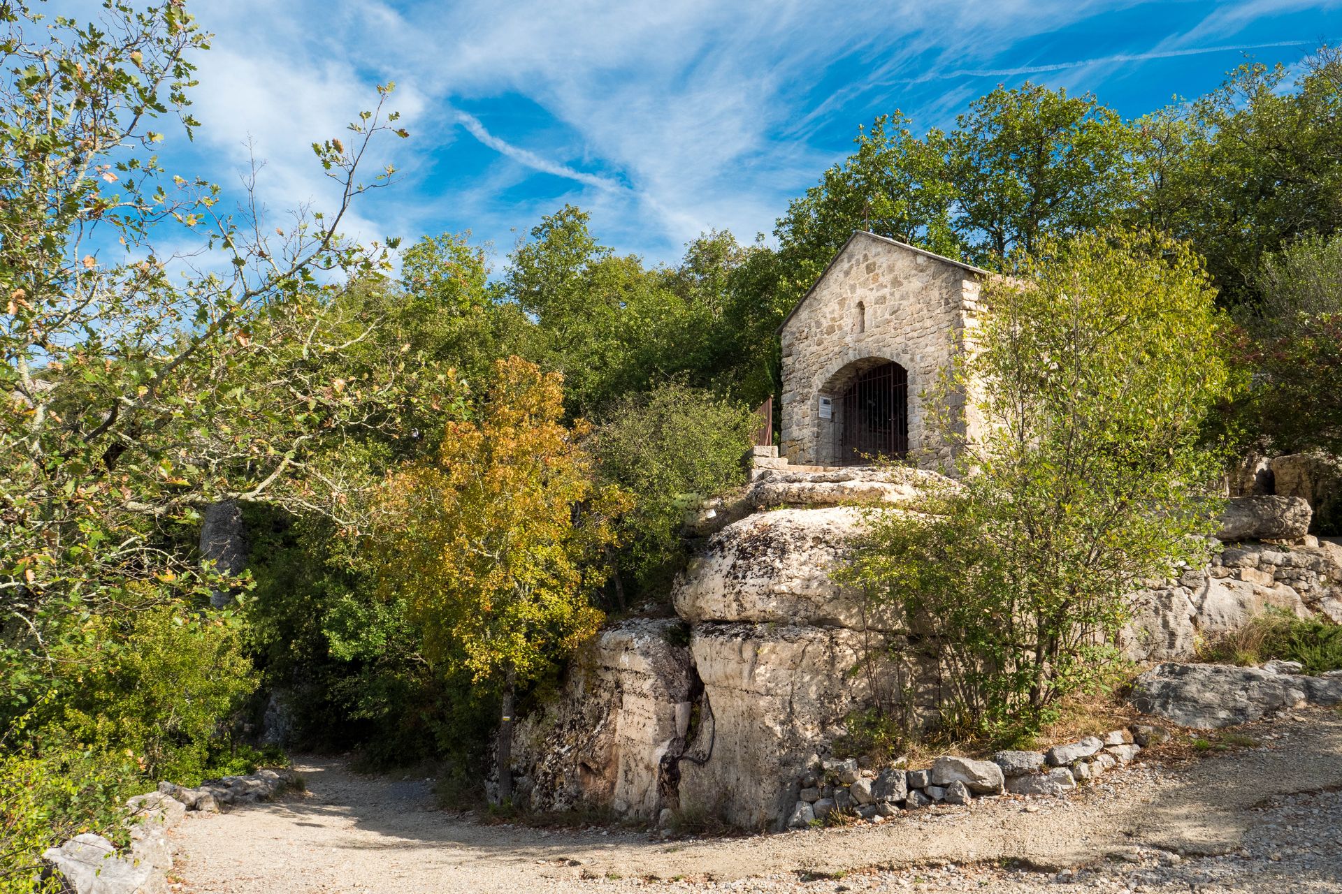
- At the ‘Vogüé’ hiking signpost, follow the signs for Vogüé-gare 2.1 km, going up a stony path beyond the barrier. It offers a bird's eye view of the castle overlooking the village and the Ardèche river. The Château de Vogüé was built between the 12th and 15th centuries. Pass the chapel and the ruins of a tower.
- At the ‘St Cerisse’ signpost, follow St-Pierre 2.7 km / St-Germain 3.5 km by taking the path on the left. After 150 m, take the path on the right.
- At the end of the path, turn left and, shortly afterwards, take the small path lined with clapas (low stone walls) on the left. Stay on this path between the walls. After a few junctions where you must continue straight ahead, the path descends into a small wood. To reach a hamlet, take the road to the left and then to the right.
- Leave the signpost for ‘Les Chazes’ on your left. Follow signs for St-Pierre / St-Germain. The term “chaze” comes from the Occitan word ‘Chasa’, meaning small house or dwelling, in this case a group of dwellings: the hamlet of Les Chazes. Take the path between the well and the calvary. After about 150 metres, leave the path that continues to the left and take the grassy path that branches off to the right, climbs and then joins a tarmac road after passing between some villas. Take the street to the left and follow it.
- At the ‘St Pierre’ signpost, follow Lavilledieu. Take the stony path that climbs to the left and enters the Grand Bois forest further on. Stay on the main path. Don't miss the Baume du Bois, a large cave on the left along the path. Baume is a term of Occitan origin: balma, bauma, meaning a cave or rock shelter. At the crossroads shortly afterwards, continue straight ahead for a while.
- After leaving the woods, take the path to the left. After 500 metres, a white and yellow cross on a rock on the ground indicates that you should not continue straight ahead but turn right. The path turns left shortly afterwards. Stay on the main path, which is relatively straight. The path descends into a small valley and becomes rocky.
- After crossing a stream that is usually dry, climb +/- 100m to a place called ‘La pause’ (the break): a large rock that invites you to sit down. Leave the PR markings and take the path that descends to the right of this rock. When you come out onto a wide path in front of a ruin, climb 200 metres to the right and take the path that branches off to the left at a bend, at a small sign with a goat on it. Walk along the edge of a small meadow on the right, then climb and head to the left. There is a beautiful view of the Ardèche river near the path. Follow the path that descends and climbs through the undergrowth. When you come out onto a wide path, descend to the right. Take the Château lane; walk along the cemetery on the left; and, before the church, descend to the right and then to the left to return to the starting point.
- Departure : Tourist Office, 52 rue Grande Rue, 07200 Vogüé
- Arrival : Tourist Office of Vogüé
- Towns crossed : VOGUE, SAINT-GERMAIN, and LAVILLEDIEU
Forecast
Altimetric profile
Recommandations
Protect yourself from the sun and bring water with you.
Good footwear and possibly walking sticks.
Information desks

Office de Tourisme Gorges de l'Ardèche - Vogüé
52 Rue Grande Rue, 07200 Vogüé
Transport
Bus X76 Valence TGV - Montélimar - (Ruoms) - Vallon-Pont-d'Arc
Bus E15 Avignon - Vallon-Pont-d'Arc - (Ruoms) - Aubenas
Access and parking
From Aubenas, follow the D579 towards Vallon-Pont-d'Arc and then towards Vogüé Village.
From Ruoms, follow the D579 northwards and then towards Vogüé Village.
Parking :
Report a problem or an error
If you have found an error on this page or if you have noticed any problems during your hike, please report them to us here: