Beyond Château de Vogüé
Chemin montant à 20 % sur 400 m au début et chemin très rocailleux par endroit
Are you ready to explore the surrounding hiking trails of Vogüé? This hike is the ideal opportunity to discover the region's wild beauty.
Along the way, you will walk along limestone cliffs, traverse undergrowth and approach the old quarry. This place, marked by the traces of man, invites us to reflect on our relationship with nature and history.
Description
- From the Info Rando sign at the château car park, head up towards the Vogüé junction. follow Vogüé-gare 2.1 km Continue up a stony path offering a bird's-eye view of the château overlooking the village and the River Ardèche. Vogüé château, built between the 12th and 15th centuries, still belongs to the Vogüé family.
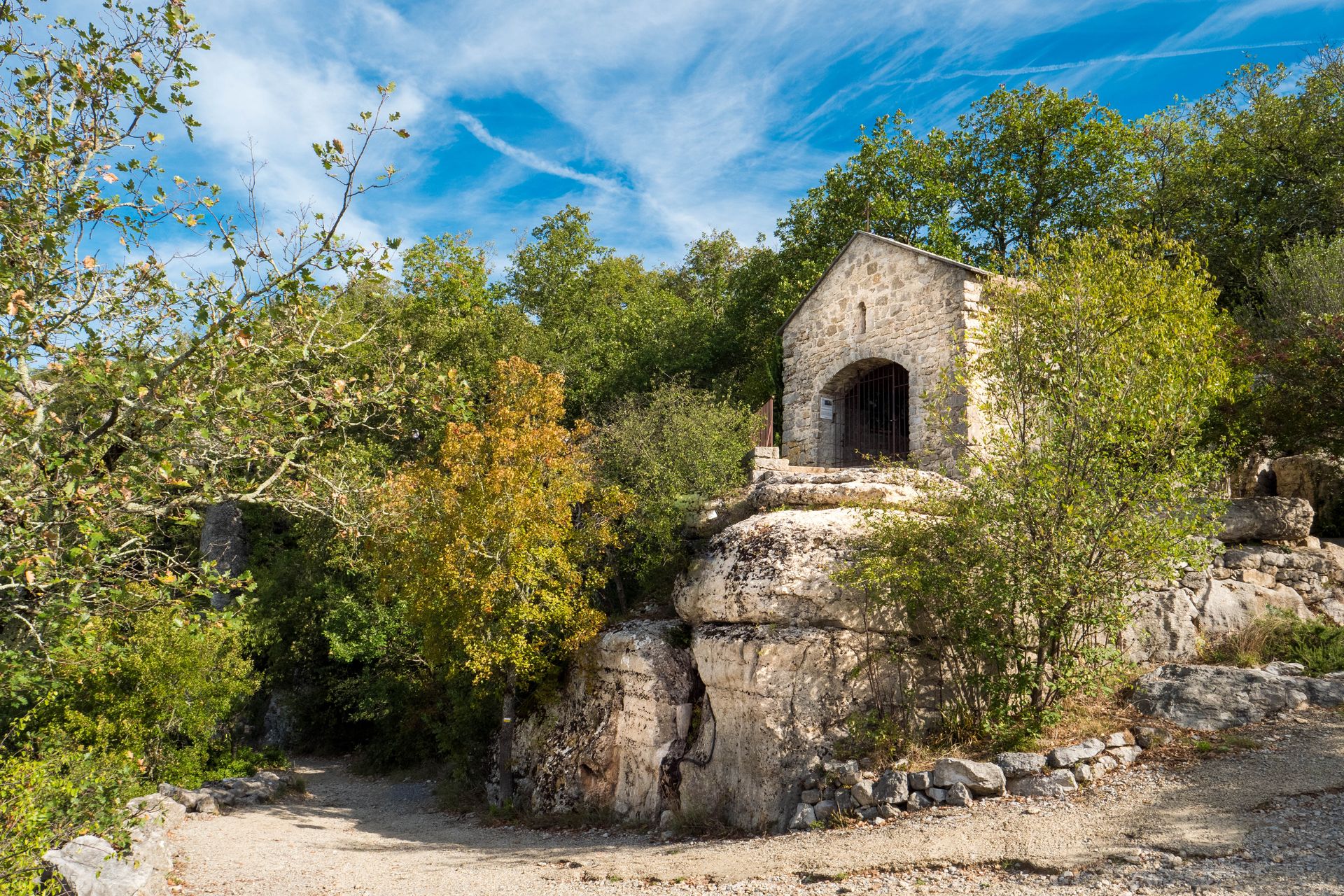
- At the St Cerice junction follow St-Pierre 2.3 km / St-Germain 3.1 km. At the Château d'Eau junction, follow the signs for St-Pierre 2.2 km / St-Germain 3 km. After approximately 100 m, turn left and follow a path lined with low walls. At the next crossroads, turn left and then, a few metres further on, fork right to continue along a very stony path through oak trees. There is an old limestone quarry along the way.
- At the Les Chazes junction, follow St-Pierre / St-Germain. The word "chaze" comes from the Occitan Chasa, meaning small house or dwelling, in this case a group of dwellings: the hamlet of Les Chazes. Take the path between the well and the calvary. After about 150 m, ignore the path on the left and continue along the grassy track, which forks right and joins a tarmac road.
- This leads to the St Pierre crossroads. Follow the signs for Lavilledieu. Leave the tarmac road and follow a stony path to the La Baume du Bois junction, follow Vogüé. Baume, a term of Occitan origin: balma, bauma, means a cave, a rock shelter, a burrow.
- After about 100 m, turn left. The path widens and arrives at the Vogüé junction. Follow Info Rando 0.1 km Return to the starting point along the path taken on the outward journey.
- Departure : From the hiking information sign at the château car park
- Arrival : From the hiking information sign at the château car park
- Towns crossed : VOGUE, SAINT-GERMAIN, and LAVILLEDIEU
Forecast
Altimetric profile
Recommandations
Protégez-vous du soleil et emportez de l'eau.
Information desks

52 Rue Grande Rue, 07200 Vogüé
Access and parking
From Aubenas, follow the D579 towards Vallon-Pont-d'Arc and then towards Vogüé Village.
From Ruoms, follow the D579 northwards and then towards Vogüé Village.
Parking :
Report a problem or an error
If you have found an error on this page or if you have noticed any problems during your hike, please report them to us here: