Along the Ardèche from Lanas
The first traces of habitation in Lanas date back to the Middle Ages. As early as the 12th century, a castrum, a real fortress, was built in the heart of the village. Its strategic location on the banks of the Ardèche made it an important defensive site. The castrum's unique snail-shaped architecture testifies to these turbulent times. Nestled on the banks of the river Ardèche, the village of Lanas is much more than just a starting point for your walk. Its rich and eventful history makes it a place full of history and charm.
Description
To make the start easier, use the small map at the top left of the Info Rando sign. From the Info Rando sign in the car park, head towards the bridge. Do not cross it, but take the small road that runs alongside the Ardèche. At the junction, follow signs for Balazuc 3.4 km.
- At the lake, take the path on the right that passes under the climbing site. Leave the path and climb into the woods via the trail on the right.
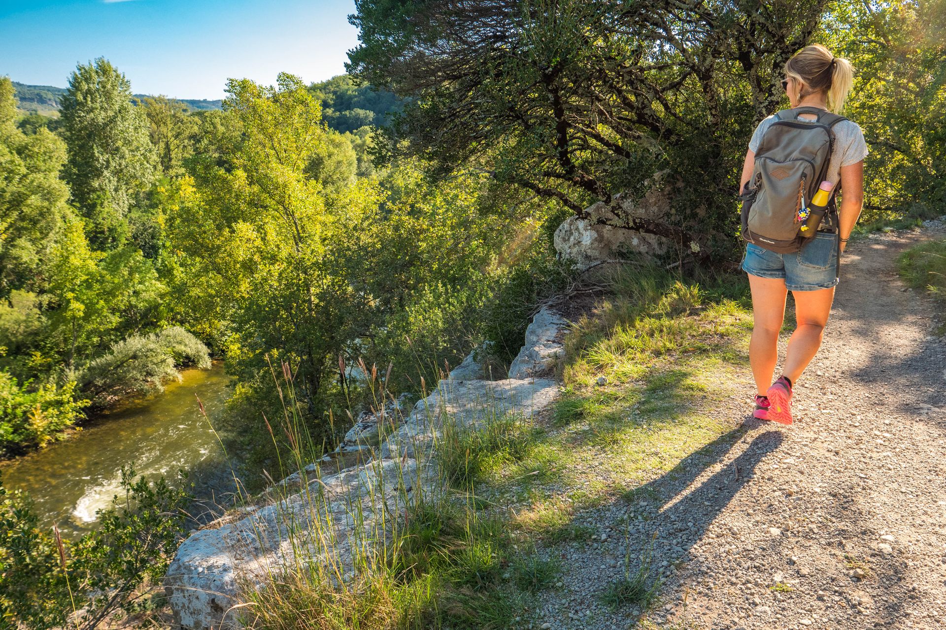
- After walking on a slight incline between the oak trees, take the path on the left that descends at the crossroads. In a slight curve, take the trail that descends to the right towards the river. After walking along the Ardèche for 300 m, you will pass just above the Estinettes cave. Climb the path towards the cliff and, at the ring fixed to the rock, follow Lanas for 3.1 km. Continue along the path under the cliff, which offers a beautiful view of the Ardèche and the village of Saint Maurice d'Ardèche, until you reach the pretty hamlet of Servière with its stone houses.
- Cross the hamlet and at the Servière junction, follow Lanas for 3.5 km. At the exit of Servière at the Les Chabasses junction, follow Lanas for 3 km. Take the path and then the trail up to the Gras plateau. Walk for about 2 km through an environment of holm oaks characteristic of southern Ardèche.
- After passing the small stone house on the left at the Le Clauzel junction, follow signs for Lanas for 1 km. Descend the path towards Lanas. Admire the Vogüé viaduct, where the Via Ardèche has been built. Cross the village of Lanas and return to your starting point. Before leaving, take the opportunity to stroll through the village's narrow streets.
- Departure : Hiking information board located in the car park
- Arrival : Hiking information board located in the car park
- Towns crossed : LANAS and BALAZUC
Forecast
Altimetric profile
Information desks

Office de Tourisme Gorges de l'Ardèche - Ruoms
9 rue Alphonse Daudet, 07120 Ruoms

Office de Tourisme Gorges de l'Ardèche - Vogüé
52 Rue Grande Rue, 07200 Vogüé
Access and parking
From Aubenas, take the D579 towards Vogüé and then the D114 towards Lanas.
From Ruoms, take the D579 towards Vogüé, then in Saint-Maurice-d'Ardèche take the D114 towards Lanas.
Parking :
Report a problem or an error
If you have found an error on this page or if you have noticed any problems during your hike, please report them to us here: