
Mountain biking – The Tour du Saleyron
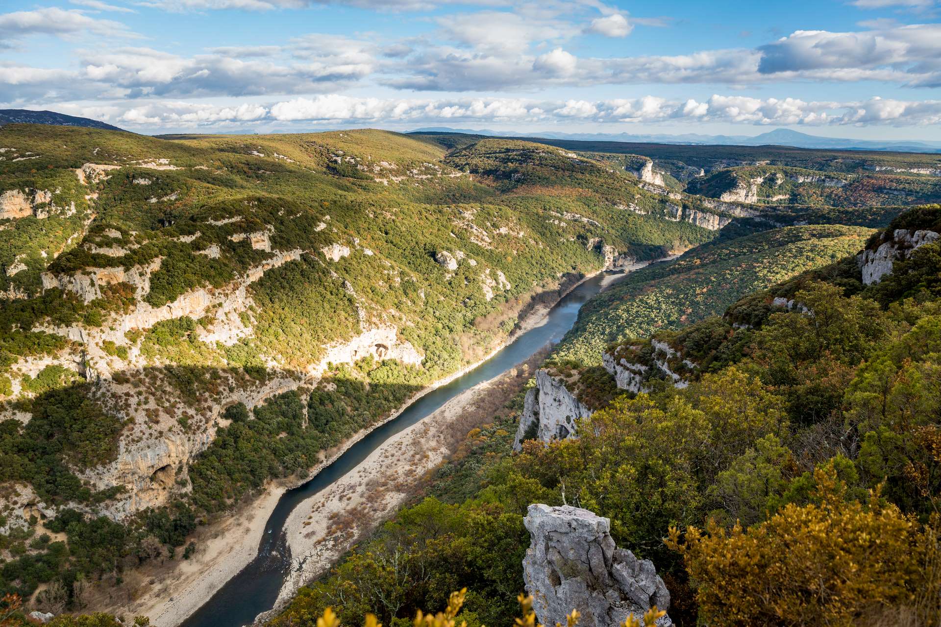
This very challenging mountain bike route is intended for experienced riders. Following the white-and-yellow and white-and-red markings, you’ll ride through wild countryside offering superb panoramic views and a view of the castle. The route requires good technical skill, with sections where you’ll need to carry your bike. Stay alert when crossing local roads.
Description
- To help you get started, use the small map in the top left-hand corner of the Info Rando sign. From the Info Rando sign at the entrance to the Orgnac-l’Aven municipal campsite, follow the red-and-white markings (GR 4) which cross through the centre of the campsite and lead to the ‘Camping’ junction; follow the signs for Terme de Mazer. Continue along a stony track that passes close to an aerial, then across a huge rock slab. Carry on straight ahead to the ‘La Grande Lauze’ junction; follow signs for Terme de Mazer / Baume d’Oullins.
- At the next crossroads, turn right, then left. Continue along this track through the woodland to the Terme de Mazer junction; follow signs for ‘Camping 1000 étoiles (Mas de Serret)’ / ‘Baume d’Oullins’. Continue along a track before beginning a long descent down a wide stony path. Then turn right onto a narrow path, then reach the Mas de Serret junction; follow signs for ‘Camping 1000 étoiles (Mas de Serret)’ / ‘Labastide-de-Virac’.
- Reach the campsite entrance and take the tarmac road. After 400 m, leave the road and take a narrow track on the right. Continue to the Les Crottes crossroads; follow signs for Labastide-de-Virac. Pass the Les Condamines junction; follow signs for Le Gras / Labastide-de-Virac. Follow the white-and-yellow markings. Head for the Camp Cerier junction; follow signs for Sous Saleyron / Labastide-de-Virac.
- Continue along this path which circles Saleyron. Carry on to the Sous Saleyron crossroads; follow signs for Le Gras / Labastide-de-Virac. Continue straight on to the Le Gras junction; follow signs for Le Temple / Labastide-de-Virac. Follow the white-and-red markings through the village of Labastide-de-Virac.
- Cross the D 217 road and head back up to the Les Combalets junction; follow signs for Puech Roman / L’Aven d’Orgnac. Follow the white-and-yellow markings again. Walk alongside the D 217 for 200 m, then turn right onto a track suitable for vehicles.
- Pass the Bois de Ronze junction; follow signs for Chapelle Saint-Roman. Then Saint-Roman; follow signs for Puech Roman / L’Aven d’Orgnac. And Sardine; follow signs for Puech Roman / L’Aven d’Orgnac. Pass through the Puech Roman crossroads; follow signs for L’Aven d’Orgnac. Continue along this track until you reach the Boissonnas junction; follow signs for L’Aven de la Forestière / L’Aven d’Orgnac. Continue along a wide track suitable for vehicles, passing the Colombier junction; follow signs for Dolmen de la Devèze / Barjac. Then head towards Citerne; follow signs for L’Aven d’Orgnac / Aven des Cristaux. At Aven des Cristaux, follow signs for L’Aven d’Orgnac. Continue straight down until you reach a clearing, then turn left.
- Carry on to the Baume de Ronze junction (you can make a short detour to the Baume de Ronze shelter); follow the signs for L’Aven d’Orgnac. Continue along this path, which leads to the car park of the Museum of Prehistory. Turn left, then right, towards the Museum. Follow the red-and-white markings again and walk past the entrance to the Museum of Prehistory. Walk through the woodland for about 1 km. Take the D 217, which leads down to the starting point.
- Departure : Orgnac-l'Aven - Municipal Campsite
- Arrival : Orgnac-l'Aven - Municipal Campsite
- Towns crossed : ORGNAC-L'AVEN, LABASTIDE-DE-VIRAC, LE GARN, and BARJAC
Forecast
Altimetric profile
Recommandations
Follow the signposted paths, keep your speed in check and always give way to pedestrians with a smile. The southern Ardèche is home to an exceptional and fragile ecosystem: help to protect it by staying on the tracks, taking your rubbish away with you and closing gates behind you. Before setting off, check your mountain bike, put on your helmet, pack some water and a repair kit, and let a friend or family member know if you’re setting off on your own.
Cycling ;) – Suitable shoes, plenty of water, sun-protective clothing.
Information desks

Office de Tourisme Gorges de l'Ardèche - Vallon-Pont-d'Arc
16 rue des Abeilles, 07150 Vallon Pont d’Arc
Access and parking
From Vallon-Pont-d'Arc, take the D579 towards Barjac, cross the bridge over the Ardèche towards Salavas, then continue on to Vagnas. In the village, turn left onto the D217 towards Orgnac-l’Aven. Drive through the centre of the village and follow the signs to the municipal campsite (located on the outskirts of the village, on Route de l’Aven).
Coming from Barjac, take the D579 towards Vallon-Pont-d’Arc as far as Vagnas. At the entrance to the village, turn right onto the D217 towards Orgnac-l’Aven. Continue to the village of Orgnac, then follow the signs for the municipal campsite on the outskirts of the village.
Parking :
Report a problem or an error
If you have found an error on this page or if you have noticed any problems during your hike, please report them to us here: