
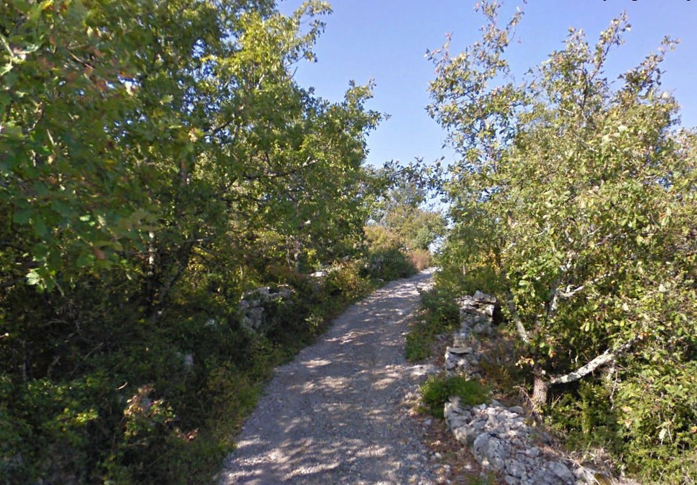
Mountain biking – Les Gras de Chauzon
The first few metres set the tone: tight bends and sharp accelerations over limestone slabs. amongst the white oaks, you need to ride with precision, seeking grip on rugged and technically demanding garrigue terrain. Once past this challenging section, the terrain levels out. The trail then races across a bare, windswept plateau, allowing for a smoother ride. Nearly 12 km of pure Ardèche mountain biking, combining rocky crossings and flowing lines in the heart of the countryside.
Description
- To make setting off easier, use the small map in the top left-hand corner of the Info Rando sign. From the Info Rando sign at the entrance to the village, take the road uphill and, at the next junction, turn left. At the end of the tarmac road, continue along a stony track until you reach the La Hâle junction; follow the signs for La Drayette / Uzer.
- The path runs alongside the Gournier stream. This stream, which is usually dry, offers remarkable scenery. Near a ruined house, turn left and head for the Le Gras junction; follow signs for: La Drayette / Uzer.
- The path passes alongside some remarkable dry-stone wall structures. Leave the track and take a path leading to the La Drayette crossroads; follow signs for: Balazuc
- Cross the road and head for the Combe-Veyras junction; follow signs for: Balazuc. At the next junction, turn right and continue until you reach a tarmac road. Turn right and follow this road, passing the Vigiers junction: follow signs for: Viel Audon / Balazuc. Once in Lubac, follow signs for: Viel Audon / Balazuc. Then, at Audon, follow signs for: Chauzon
- Pass a few houses and, at the end of the tarmac track, continue along a stony path which leads onto a road. Follow the road for a few metres, then take the path on the left. The signposting takes a slight detour along the cliffs to a viewpoint. Follow the road back to the starting point of the circuit.
- Departure : Chauzon - Hiking Information Sign, Route des Gras
- Arrival : Chauzon - Hiking Information Sign, Route des Gras
- Towns crossed : CHAUZON and BALAZUC
Forecast
Altimetric profile
Recommandations
Follow the signposted paths, keep your speed in check and always give way to pedestrians with a smile. The southern Ardèche is home to an exceptional and fragile ecosystem: help to preserve it by staying on the tracks, taking your rubbish away with you and closing gates behind you. Before setting off, check your mountain bike, wear your helmet, pack water and a repair kit, and let a friend or family member know if you’re setting off alone.
🚨 Emergency: 112 or 18
Cycling ;) – Suitable shoes, plenty of water, sun-protective clothing.
Information desks

Office de Tourisme Gorges de l'Ardèche - Ruoms
9 rue Alphonse Daudet, 07120 Ruoms

Office de Tourisme Gorges de l'Ardèche - Vallon-Pont-d'Arc
16 rue des Abeilles, 07150 Vallon Pont d’Arc
Transport
None
Access and parking
From Ruoms or Vogüé, take the D579 to Pradons. At the traffic lights, turn towards Chauzon. The road bends to the right after the bridge. The car park is at the junction with the Route des Gras.
From the D104 between Aubenas and Rosières, take the small road towards Balazuc. Take the first right towards Chauzon. At the roundabout at the entrance to the village, take the first exit, follow the Route des Gras and, just before the T-junction with the Route des Blaches, park in the car park on the left.
Parking :
Report a problem or an error
If you have found an error on this page or if you have noticed any problems during your hike, please report them to us here: