
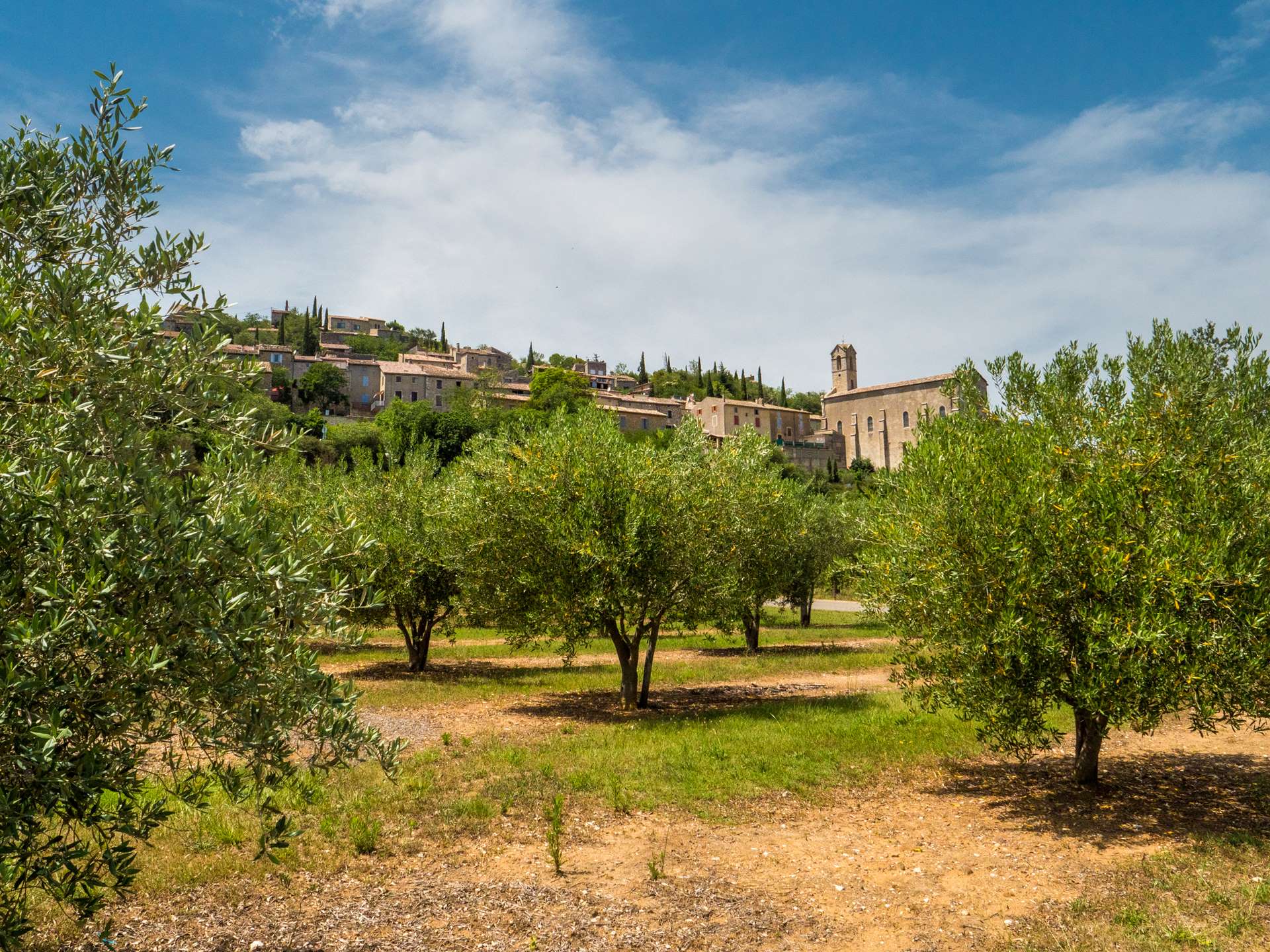
Mountain biking – Lagorce and a small section of the Ibie Valley
A route that runs alongside part of the Ibie Valley, through oak woods, over rocky sections and offering views of the limestone cliffs. Technical trails in places, alternating between short climbs and fast descents. Suitable for regular mountain bikers. An immersive experience of nature in the heart of the Ardèche.
Description
- To help you get started, use the small map in the top left-hand corner of the information board. From the ‘Info Rando’ information board next to the coach station, follow the white-and-yellow signposts. Pass the Vallon-Pont-d’Arc junction.
- Follow the signs for Coucouru / Salavas. Walk up Rue Louis Clarion and continue towards Coucouru. Carry on to the Bourdaric junction. Follow signs for Lagorce.
Take the Bourdaric track, then follow the signposts to the Le Mas de Boulle junction. Follow signs for Lagorce. Continue along the tarmac track to the Sigaud junction. Follow signs for Ferrière / Lagorce. - Cross the D1 road to join the D558. 300 metres further on, take a tarmac track on the right leading to the River Ibie and the Pont de Miquenly junction. Follow signs for: Ferrière / Lagorce. The track runs alongside the Ibie valley and passes the Vigier junction. Follow signs for: Ferrière / Lagorce.
- Join the D558 and turn left. Cross the River Ibie and, at the end of the bridge, turn right until you reach the Ferrière crossroads. Follow signs for Lagorce.
- Join a tarmac track and follow it to the Sous la Magnanerie junction. Follow signs for: Salastre / Les Sallèles. Continue, passing through the Salastre crossroads in turn.
- At the Le Moulinas junction, follow signs for: Ruoms.
- At the junction with the D 1 road, head straight on and pass through the L’Auche d’Ozil and then
- Charoussas junctions. Follow signs for: Lagorce.
- When you reach the Le Pertus junction, follow signs for Lagorce. The track joins the D1 road at the entrance to Lagorce. Take a tarmac track that runs above the road. Pass through a holiday resort.
- Cross the D I road and take the tarmac track straight ahead, which leads back to the starting point via the same route taken on the way out, via the Sigaud and Mas de Boulle turn-offs. Follow signs for: Vallon-Pont-d’Arc, then Bourdaric and Vallon-Pont-d’Arc. Follow signs for: Info Rando and you’ll be back at the starting point.
- Departure : Vallon-Pont-d'Arc - Ardèche Gorges Tourist Office
- Arrival : Vallon-Pont-d'Arc - Ardèche Gorges Tourist Office
- Towns crossed : VALLON-PONT-D'ARC and LAGORCE
Forecast
Altimetric profile
Information desks
Office de Tourisme Gorges de l'Ardèche - Ruoms
9 rue Alphonse Daudet, 07120 Ruoms
Office de Tourisme Gorges de l'Ardèche - Vallon-Pont-d'Arc
16 rue des Abeilles, 07150 Vallon Pont d’Arc
Transport
Route X76 Valence TGV – Montélimar – Vallon-Pont-d'Arc
Line E15 Avignon – Vallon-Pont-d'Arc – Aubenas
Pont d'Arc shuttle: check the timetables.
Access and parking
From Aubenas, take the D579 towards Vogüé and the Gorges de l’Ardèche as far as Vallon-Pont-d’Arc.
From Bourg-Saint-Andéol, take the D4 towards Vallon-Pont-d’Arc.
From Alès, take the D104 towards Aubenas. Then take the D111 towards the Ardèche Gorges until you reach Vallon-Pont-d’Arc.
Parking :
Report a problem or an error
If you have found an error on this page or if you have noticed any problems during your hike, please report them to us here: