
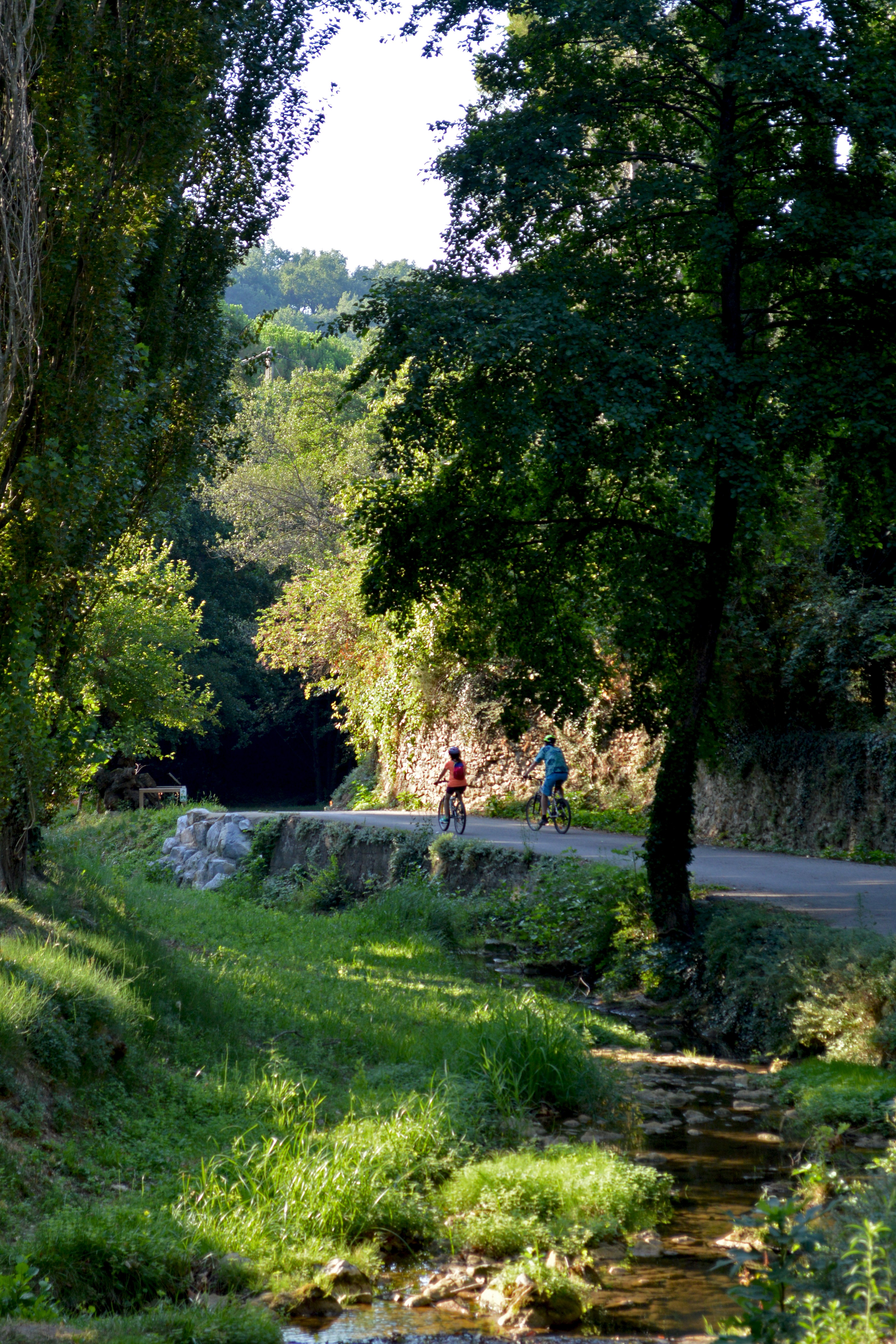
Stones and Vineyards
This route isn’t difficult, but it does follow two county roads in places and crosses them twice. It is therefore not suitable for children. Some of the gradients are between 7 and 10 per cent.
Starting off in the cool air by the river, you’ll make a short climb up to the Ermitage hill before heading through the woodland and across the Côteaux du Vivarais vineyard.
Description
From Place Poulallé (the car park below the post office and the chemist’s), cross the small submersible bridge over the stream and then head left. The small, shaded road runs alongside the stream before veering away from it and passing through the fields.
- After crossing a bridge, turn 180° to the left.
- When you reach the D190, follow it to the right until you come to a crossroads, where you can choose to continue on the R.D. (for road bikes) or turn right onto a small road for 500 metres (hybrid bikes).
- At the bus stop, cross the R.D. carefully and turn left onto the Route du Paraud. Walk past the foot of Hermitage Hill. The road then winds its way through the shade of a woodland.
- After crossing a bridge, head uphill to the left. The road runs through fields. When you reach a T-junction, turn right, then head downhill to the left; then turn left again 100 metres further on (50 metres before the R.D.). The road climbs steadily for 700 metres before descending towards the D 262
- When you reach the county road, cross it carefully! Turn left and follow it for 50 metres, then turn right at the chapel. Then turn right again 100 metres further on. Follow this gently sloping road until it starts to climb and opens out onto a large field on the left.
- At this point, turn left onto the Route de la Gouyonne. When you reach the first fork, turn left onto the Chemin du Pla.
- At the next fork, head up to the left along the Chemin Combe des Noyers (not right at the far left, past the house).
- At the next junction, turn left. Stay on this small road, which winds gently and offers some lovely views. When you reach the corner by the cemetery, turn left.
- From the cemetery car park, there is a lovely view of the castle and the medieval village. When you reach the R.D., turn right towards the village. Drive down carefully and keep right at the first junction.
- There is a cycle service area where you can leave your bike and even recharge your e-bikes whilst you explore the village on foot and/or have a bite to eat.
- Next, you need to cross the bridge on the left. Then pass a small square. The street narrows
- At the small bridge, to return to the starting point, head down to the left and follow Rue le Lavoir, then turn right to go back past the barrier and the submersible bridge.
- Departure : Place Poulallé 07220 Saint-Montan
- Arrival : Place Poulallé 07220 Saint-Montan
- Towns crossed : SAINT-MONTAN
Forecast
Altimetric profile
Recommandations
This route is not suitable for children. There is the option of taking an additional loop via Larnas and its Romanesque church on the plateau of lavender fields and vineyards. Please be aware of the 7 per cent gradient over 3 km.
E-bikes, hybrid bikes, fitness bikes. A section not particularly suitable for road bikes, but access is possible via the D290
Transport
Ligne cars E20 : Pont St Esprit Bourg-St-Andeol Montélimar (vérifier la possibilité d'emport de vélo au préalable) : arrêt Montmale au giratoire entre D86 puis D262 :; de là, suivre les panneaux du balisage vélo vers Saint-Montan pour arriver au point "6" de la description. De là, suivre les panonceaux avec 4 noir sur fond jaune.
Access and parking
D 290 from Bourg-Saint-Andéol
D86 then D262 from Viviers. You can set off from the car park at the roundabout where the D86 meets the D262: follow the cycle signs towards Saint-Montan to reach point “6” in the description. From there, follow the signs with a black ‘4’ on a yellow background
Parking :
Report a problem or an error
If you have found an error on this page or if you have noticed any problems during your hike, please report them to us here: