
The Donzère Gorges
Easy trails Very little elevation gain, but quite a long distance.
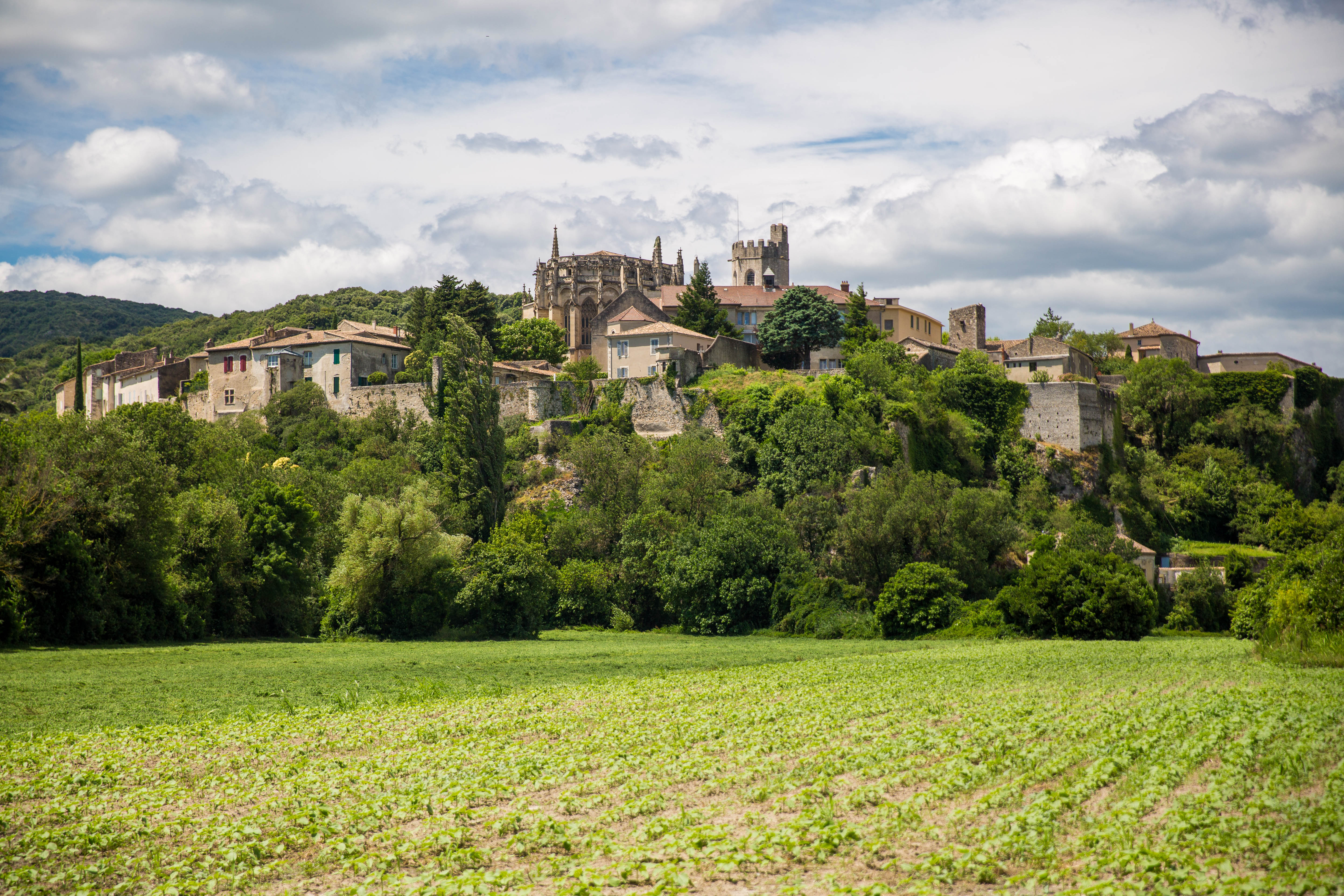
Old towpaths, the narrowest stretch of the Rhône flanked by limestone cliffs. There are also lovely views from the foot of the cliffs, towards Viviers and its hilltop cathedral.
Description
From the car park, head towards the town, then turn right. Walk along the square to join the lovely avenue lined with plane trees. This will take you to the marina. Turn right there. There is an ‘Info rando’ sign and some tables and benches where you can take a break.
- From there, walk along the Rhône.
- Before the junction, take the path on the left to go under the bridge. Continue along the river and enjoy the views of the cliffs on the opposite bank.
- At the signpost marked “Ile des Perriers”, carry straight on. Unless the Rhône is very high or you’d prefer to avoid the dirt track, which can be a bit muddy. In which case, turn right then left (follow ViaRhôna).
- In both cases, you’ll reach a point where the small road runs alongside the river.
- A shaded picnic area by the water’s edge offers a lovely view of the end of the gorge and the suspension bridge. When you reach the Robinet Bridge, cross it.
- On the opposite bank, follow the greenway to the left for approximately 4 km.
- When you reach the bridge, go under it on the left, then turn right 270°. The path is sometimes flooded, but this is very rare. If this happens, go up to the right and cross the road carefully. Take the bridge on the right-hand pavement. At the end, turn right onto the small road that runs alongside the river upstream. Before the harbour, turn left to reach the Creux car park.
- Departure : Car park along Chemin du Creux
- Arrival : Car park along Chemin du Creux
- Towns crossed : VIVIERS
Forecast
Altimetric profile
Recommandations
Take care on the bridges if you are with children.
Viviers boasts a rich architectural heritage. The Tourist Office has maps available to help you make the most of your visit
A water bottle
Information desks

Office de Tourisme Gorges de l'Ardèche - Bourg-Saint-Andéol
Place du Champ de Mars, 07700 Bourg-Saint-Andéol

Office de Tourisme Gorges de l'Ardèche - Viviers
5 place Riquet, 07220 Viviers
Transport
Bus route E20: Montélimar SNCF station – Viviers – Bourg-Saint-Andéol – Pont-Saint-Esprit SNCF station
Access and parking
In Viviers, take the D86f towards Châteauneuf, turn left before the bridge and then take the first left to the car park.
To get to Viviers:
from Aubenas, take the N102, then the D107, then the D86 to the right.
From Vallon Pont d’Arc, take the D4 to Bourg-Saint-Andéol, then head north on the D86 to reach Viviers.
From Pont Saint-Esprit, head north via Saint-Just-d’Ardèche, then take the D86 to Viviers.
Parking :
Report a problem or an error
If you have found an error on this page or if you have noticed any problems during your hike, please report them to us here: