Around Saint-Martin and the dolmen on the cliff
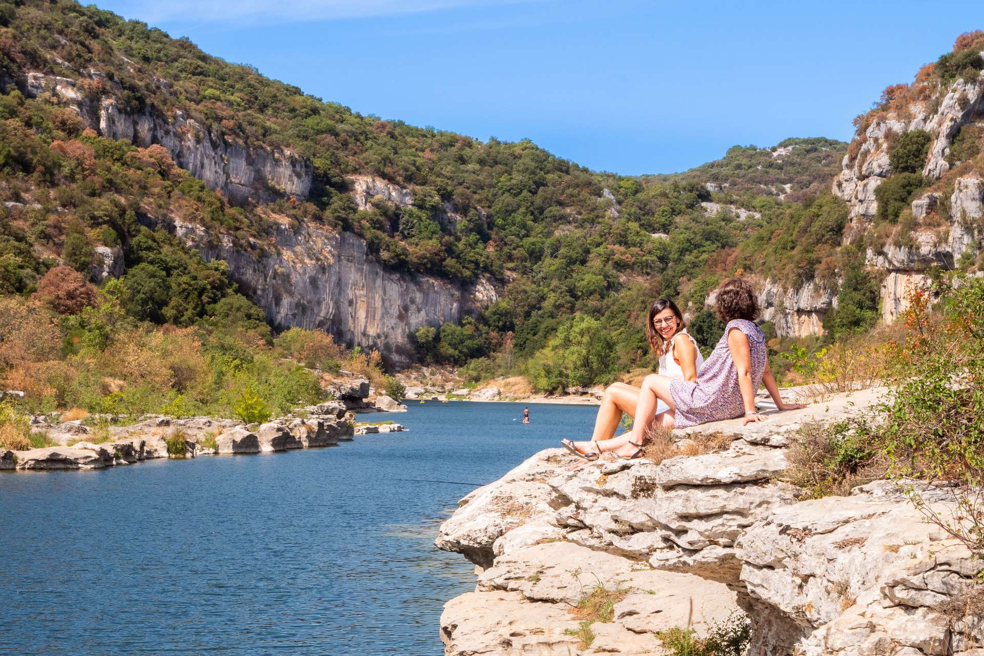
The hike offers both spectacular panoramas from the heights and relaxing moments by the water.
After a stroll through the narrow streets of the village of Saint-Martin-d'Ardèche, this hike takes you through the scrubland to the Dolmen du Ranc des Banastres.
Enjoy the view of Aiguèze and the end of the Ardèche Gorges.
The trail then leads you to the river, where you can swim at Sauze beach. Follow the Ardèche River to return to Saint-Martin-d'Ardèche.
Description
- From the hiking information sign, which is to the right of the tourist office (opposite the church), take the arched passageway; then turn left. Cross the small square diagonally and continue 25 meters along the narrow street. Then turn right (Chemin Neuf). After 160 meters, when you reach the "Le Village" campsite, turn right onto Rue du Nord. When you reach the La Mazade estate, turn left and follow the small road that climbs to the left. Go through the small tunnel under the departmental road and continue climbing to the left.
- When the road makes a right angle to the left and runs alongside a wood, take the path on the right. This curves to the left and opens onto a crow's foot.
- Take the very rocky path in the middle, which climbs steeply.
- When the path opens onto a paved road, turn right and right again immediately after. Continue climbing along the carriage road.
- Until it opens onto another wide track.
- Take it to the left until you reach the "Ranc des Banastres" signpost. To see the dolmen, follow the signs for "Dolmen du Ranc des Banastres." It's a round trip of about 1 km along a wooded path that also leads you to a beautiful viewpoint over Aiguèze and the end of the Ardèche Gorges.
- Back at the signpost, take the track back to the "Plaine du Feuillet" signpost, 0.3 km away. It's located at a crossroads of four paths. On the short version of the route, take the path that descends diagonally to the left (not towards the small building) to reach St-Martin via Sauze. Stay on the main path and follow the PR markings. 100 m after passing a large antenna on your left, continue descending to the left.
- Carefully cross the road and go down Chemin du Louby to the Sauze signpost just before the beach.
- Head towards St-Martin and take the path parallel to the river. Once you reach Grain de Sel Beach (a large rock under the cliff on the other bank), head back up the road to reach the village center and your parking lot.
- Departure : Saint-Martin-d'Ardèche Tourist Office
- Arrival : Saint-Martin-d'Ardèche Tourist Office
- Towns crossed : SAINT-MARTIN-D'ARDECHE and SAINT-MARCEL-D'ARDECHE
Forecast
Altimetric profile
Recommandations
To see: the viewpoint near the Dolmen du Ranc des Banastres.
WARNING! For your own safety, the safety of others and the protection of the natural environment, during periods of drought or extreme heat, to prevent fires from starting:
- do not smoke; if you do, place your cigarette ends in a pocket ashtray (an ember or a cigarette end that has not been properly extinguished can cause a fire several hours after being discarded);
- avoid anything that could act as a ‘magnifying glass’ on dry vegetation (glass, bottles, etc.);
- no campfires, barbecues, camping stoves, candles or oil lamps.
Information desks

Office de Tourisme Gorges de l'Ardèche - Bourg-Saint-Andéol
Place du Champ de Mars, 07700 Bourg-Saint-Andéol

Office de Tourisme Gorges de l'Ardèche - Saint-Martin-d'Ardèche
1 Pl. de l'Église, 07700 Saint-Martin-d'Ardèche
Access and parking
From Aubenas, take the D579 towards the Ardèche Gorges to Vallon-Pont-d'Arc.
Then either take the Ardèche Gorges scenic route or the D4 to Saint-Remèze, then the D201 to Saint-Martin-d'Ardèche.
From Pont-Saint-Esprit, take the D86 towards Bourg-Saint-Andéol, then the D290 towards Saint-Martin-d'Ardèche.
Parking :
Report a problem or an error
If you have found an error on this page or if you have noticed any problems during your hike, please report them to us here: